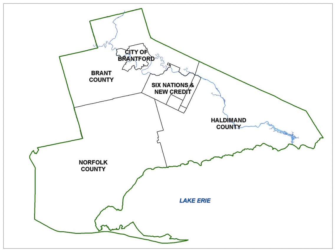
Outline Map Of Granderie
Grand Erie District School Board provides educational services and opportunities to students and families residing across four different counties and municipalities.
How to use the new School Locator App

- Click the blue and green Find Your School button above.
- On the window that pops-up, enter your home address to locate yourself on the map using the search feature at the top left of the page
- Zoom in and out of the map using the + and - icons at the bottom left of the screen to change your viewpoint
- Select the layers button on the top left corner of the screen (the second square down underneath the search address bar)
- If looking for only secondary boundaries, select the Secondary Boundaries box. For French immersion schools, select the French Immersion box, etc.
- For more instructions, select the i button under layers.